New Life for the Old Trolley Line
The Clarks Summit to Dalton segment of the Trolley Trail follows 2.8 miles of the old Northern Electric Trolley railbed. Countryside Conservancy created and maintains the trail, which is a popular spot for walking and biking.
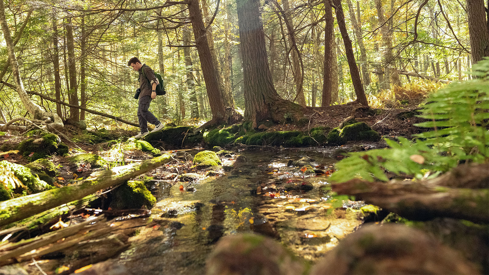
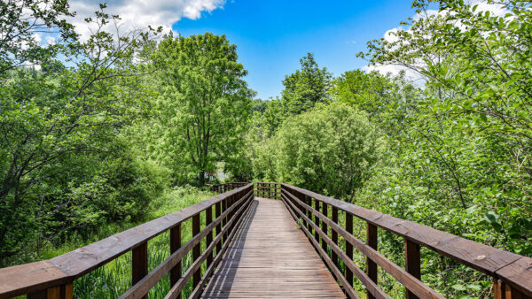
The trail follows gravel and earthen paths through the forest and includes a connector trail to the Ackerly Little League Fields. The smooth surface and gentle grade make it a fun, easy trail for all ages.
The Trolley Trail runs from Old State Road in Clarks Summit to South Turnpike Road in Dalton. Additional trailheads and parking are available along the way.
The Trolley Trail also has completed segments from Keystone College to Factoryville and from La Plume to Dalton. All sections can be connected with on-road routes. Countryside Conservancy plans on expanding the trail so that it eventually connects Clarks Summit to Lake Winola.
Accessibility
The trail has a very slight incline and a crushed stone surface, except for a rougher earthen section near the Ackerly Little League Fields. Some road crossings are required. The Roz Peck Memorial Trailhead on South Waterford Road in Clarks Summit is a dirt lot with two reserved, accessible parking spaces.


