


Appalachian Trail | Rugged Ridges & Epic Hikes in Northeastern Pennsylvania
The Appalachian Trail in Northeastern Pennsylvania offers some of the most challenging and rewarding hiking experiences in the region, covering roughly 90 miles of rugged mountain terrain. While the Appalachian Trail runs north to south from Georgia to Maine, it is often experienced locally as an east-to-west route, beginning at the Delaware Water Gap and continuing across the region’s mountain ridges toward Schuylkill County.
The Trail enters Pennsylvania at the Delaware Water Gap in Monroe County, where it crosses the Delaware River and begins a rugged westward journey along Kittatinny Ridge and Blue Mountain. From there, it climbs and descends across forested ridgelines and dramatic river gaps, passing through Monroe, Carbon and Schuylkill counties. Along the way, the route briefly crosses into neighboring Northampton, Lehigh and Berks counties before reentering NEPA multiple times, ultimately exiting the region near Pine Grove in western Schuylkill County.
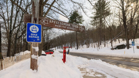
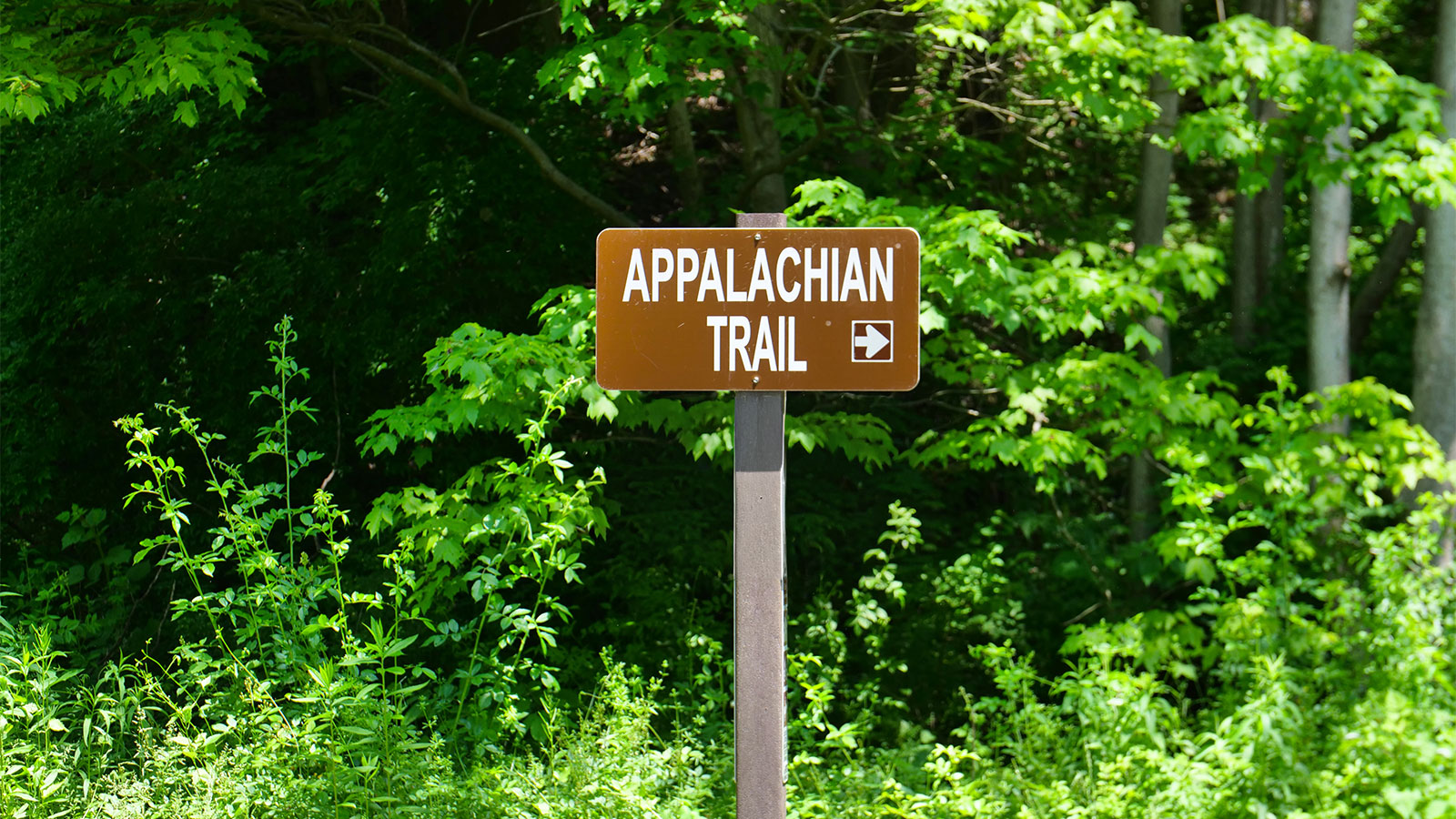
This section of the Appalachian Trail is known for steep climbs, rocky footpaths and long stretches of exposed ridgeline hiking. Unlike rail trails or greenways, the Appalachian Trail is a hiking-only footpath, built for foot travel and backcountry exploration. Access points are spread throughout the route, allowing hikers to join the Trail at many locations, whether staying within NEPA or exploring adjacent sections just beyond the region.
Along the way, the Trail passes near small trail towns such as Delaware Water Gap, Palmerton and Port Clinton, offering occasional access to parking and nearby services. Many hikers explore this stretch through out-and-back hikes or section hikes, while long-distance hikers continue south toward Pine Grove Furnace State Park and central Pennsylvania.
The Appalachian Trail in Northeastern Pennsylvania delivers a demanding, immersive way to experience the region’s mountains, forests and legendary ridgelines.